Island Images - The Isle of Man in Pictures
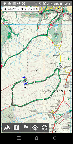
GPS map of the walk to North Barrule summit. Map is the 2009 IOM Outdoor Leisure map, displlayed on the Alpine Quest app on an Android phone. Total distance four miles, but with a climb/descent of 1,200 feet.
An
Island Images
picture ©
Jon Wornham